
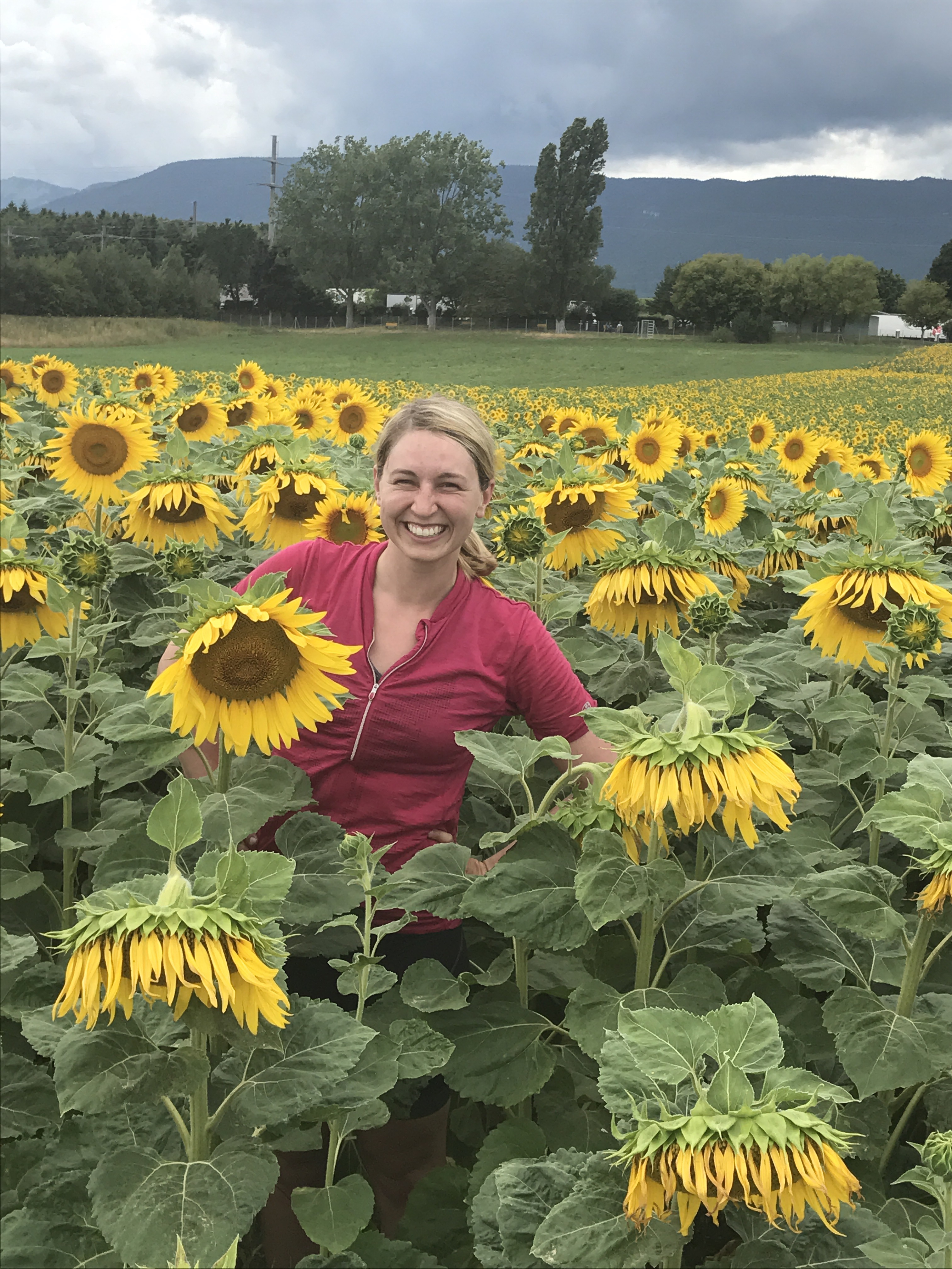
We had some ground to cover from the prior day’s short ride. While mostly following the ViaRhona into Switzerland(!), we needed to rely on Google Maps for a detour into Collonges, the town where Caitlin spent part of her childhood while her dad was at CERN. The first part of the ride out of Seysell was gorgeous – back roads following pear tree farms and rolling hills.
Then, the Google Maps “detour.”
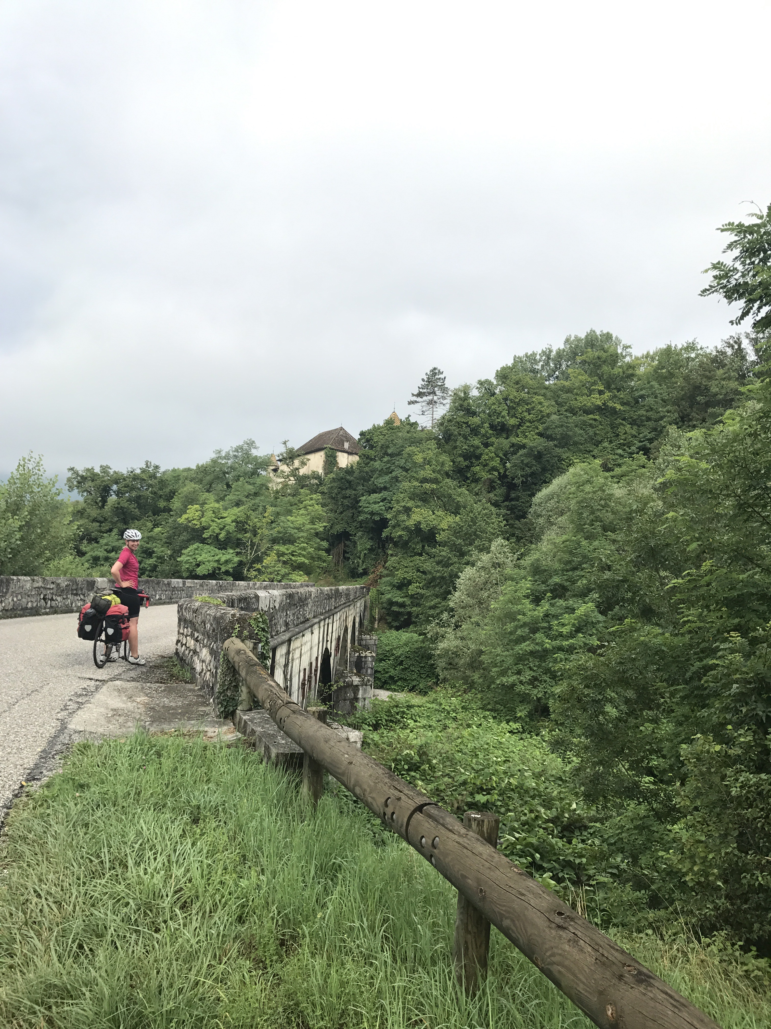
As you’ll see in the picture below, Google seemed to confuse “biking route” with “hiking route,” and sent us down a steep hill to a pedestrian path to cross the Rhone.
Why didn’t you just turn around and go a different route, you ask? Oh, dear reader, Andrew can sometimes be a stubborn man. [Ed. note: he acknowledges following this route was ill-advised]
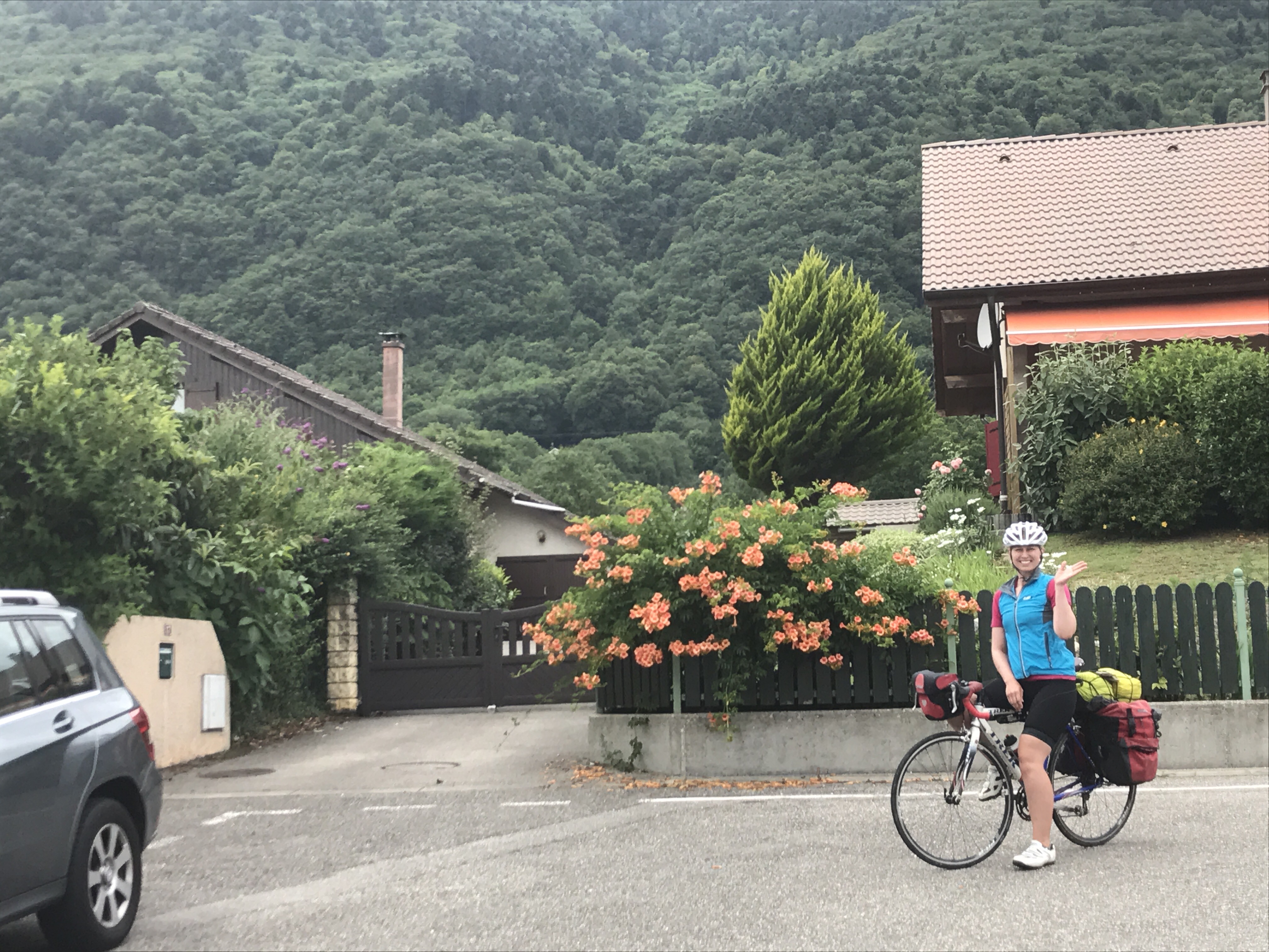
After spending about 1 hour going 1km down and then up a steep hiking trail (it didn’t seem like it’d be that far)…we were finally on our way to Collonges. We grabbed lunch in the town and then a quick picture in front of Caitlin’s old house before speeding off into Switzerland.
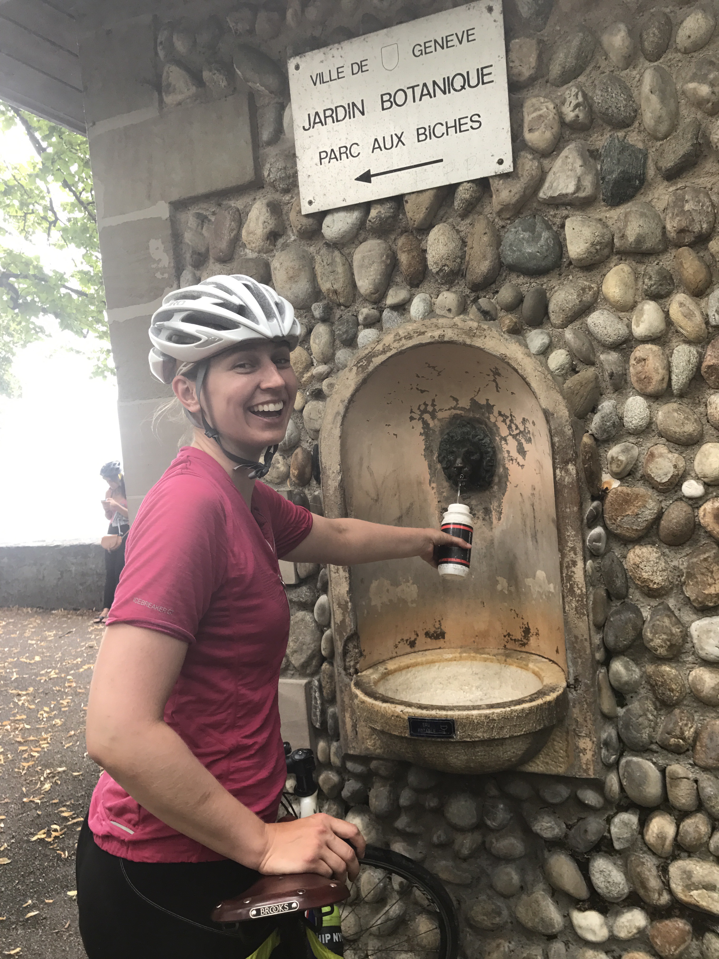
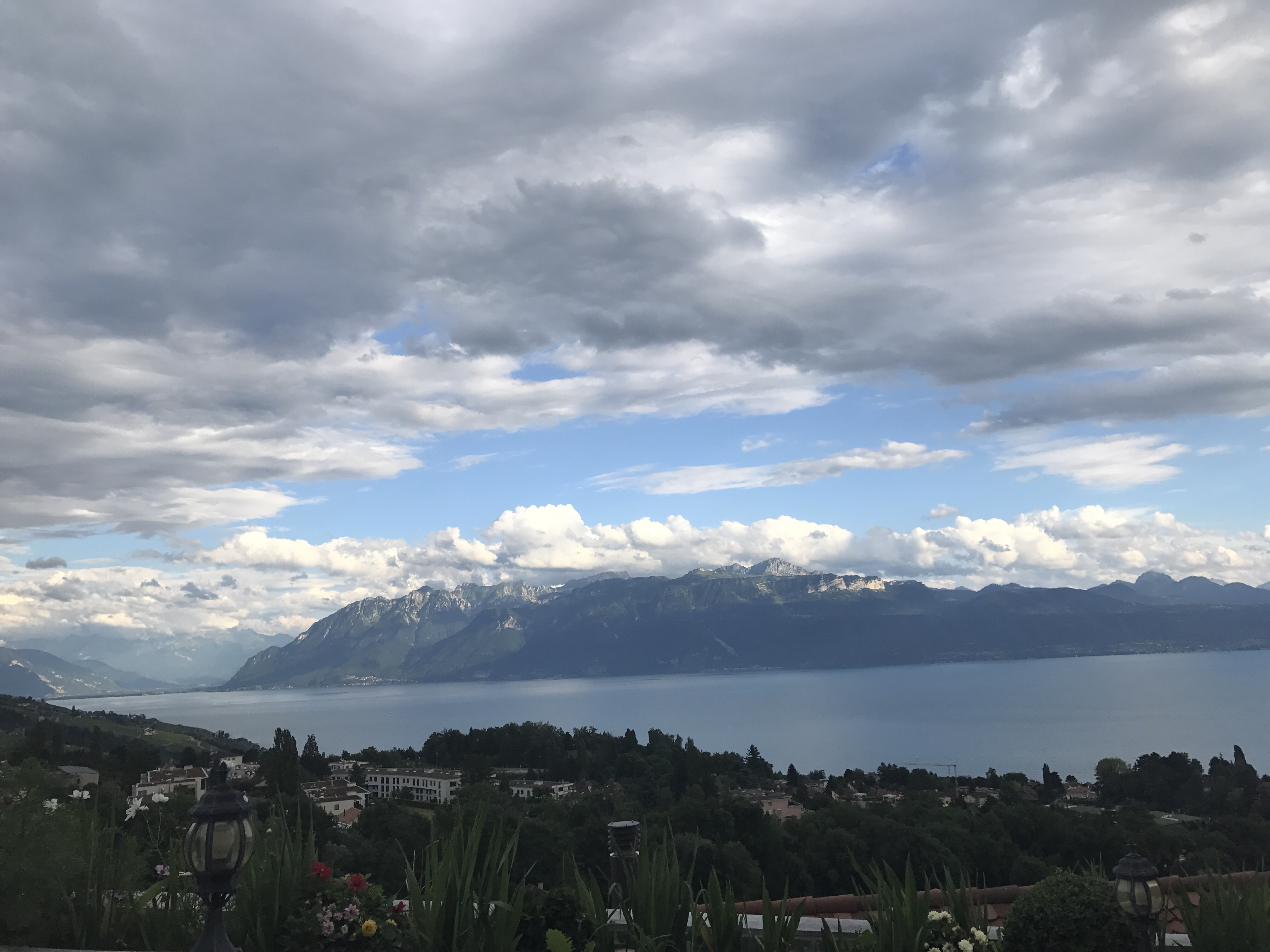
Once in Switzerland, we met up with its terrific sign-posted bike path network and made our way into Geneva and along the north side of Lac Leman. The bike path meandered through towns and was a bit rolling, but we managed to get to our hotel (after pushing our bikes up insanely steep roads – possibly 25+% grade) just outside of Lausanne in time for dinner.


It got worse
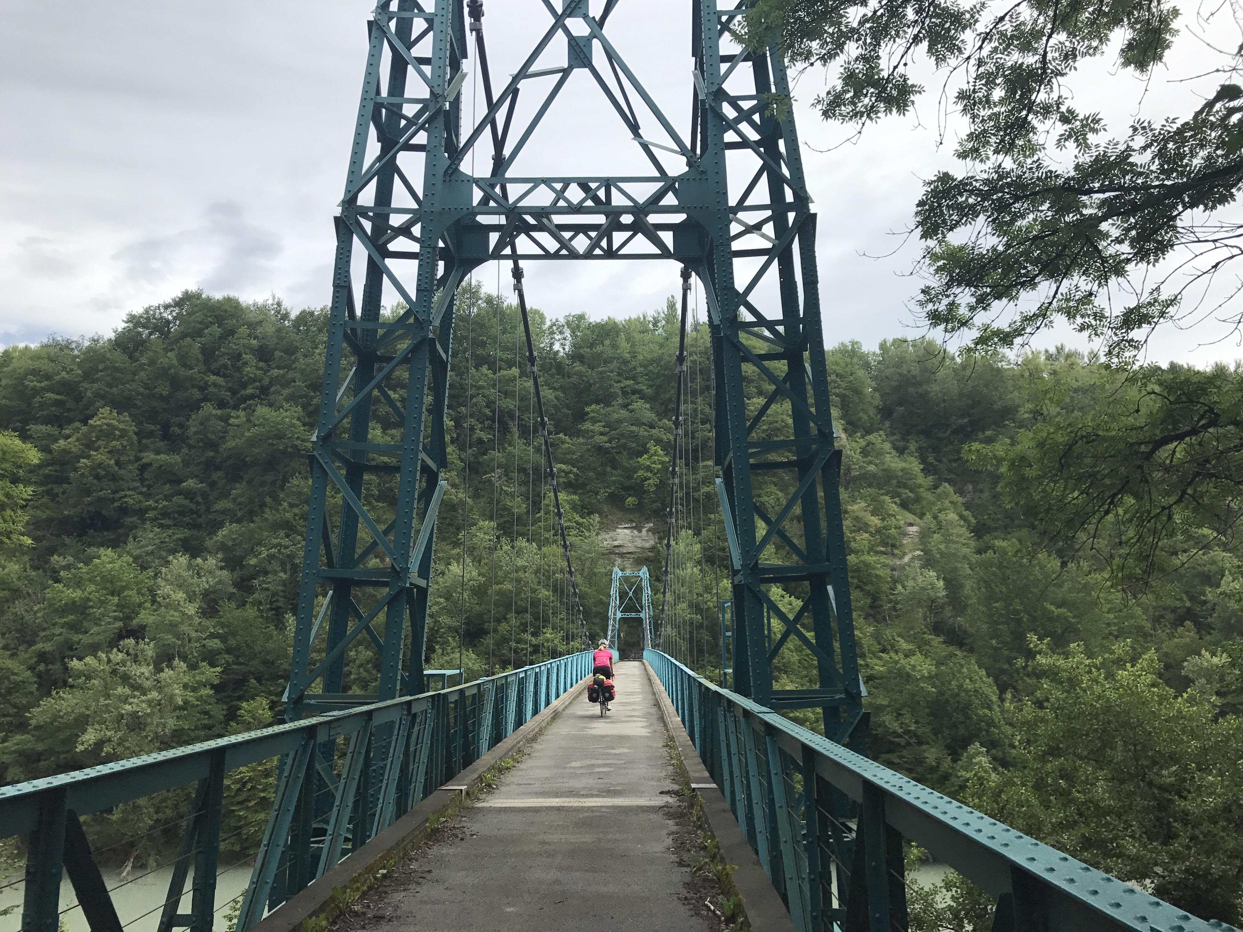

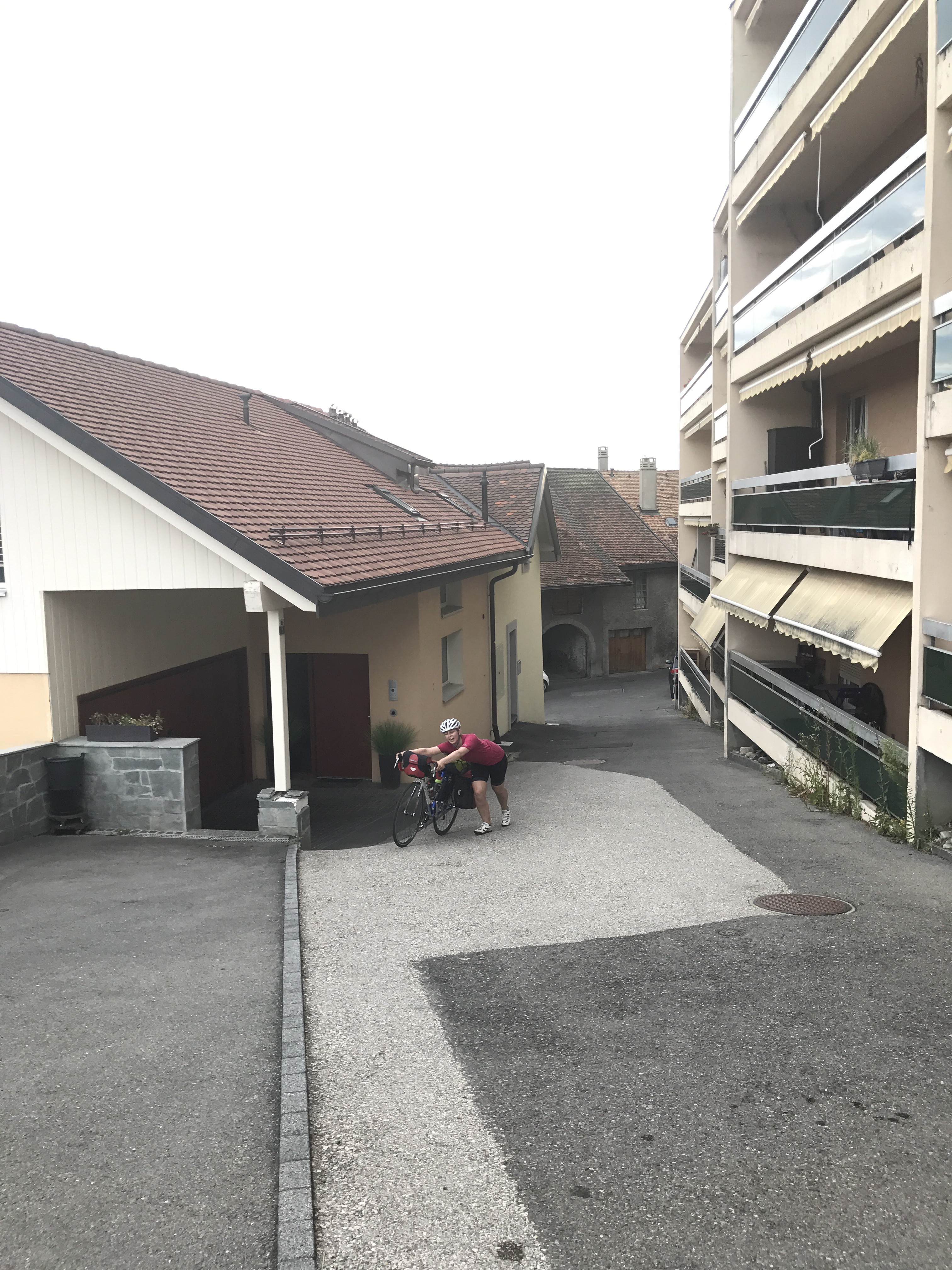
It’s A LOT steeper than it looks!
